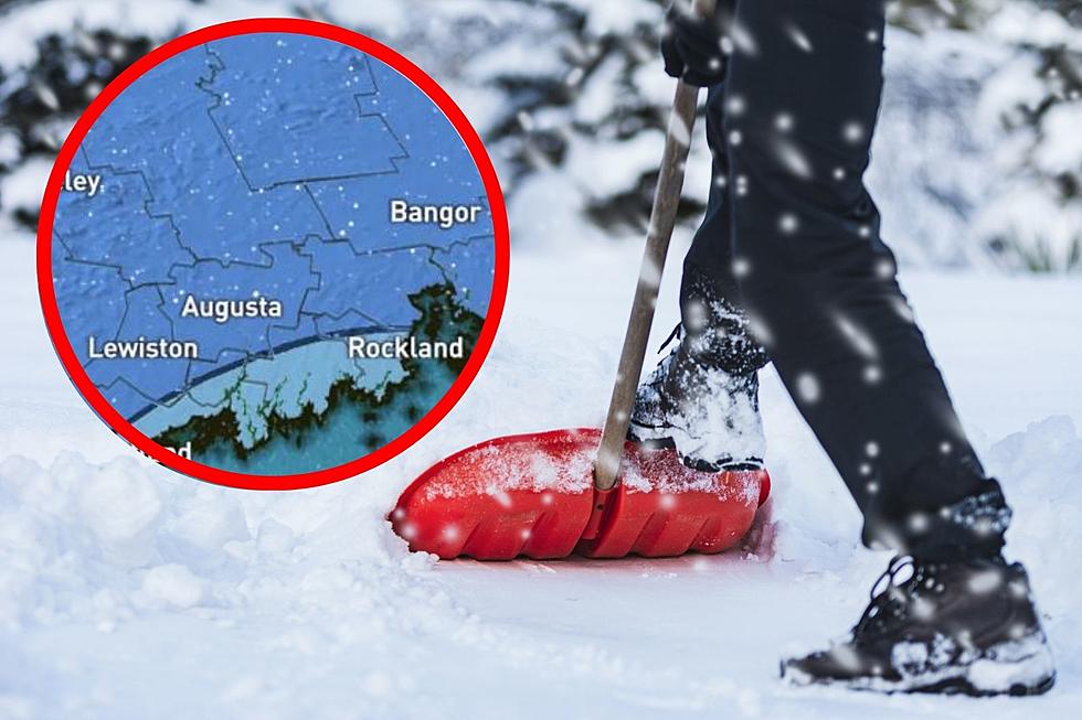
Here’s How Much Snow You Can Expect in Maine Throughout The Day Friday
We've been in a pattern of storms here in Maine for the last couple of weeks. It seems like every 72 hours there's another area of low pressure that makes its way into the region and leaves us with hours of precipitation. And now, for Friday, there's another storm moving into the Pine Tree State.
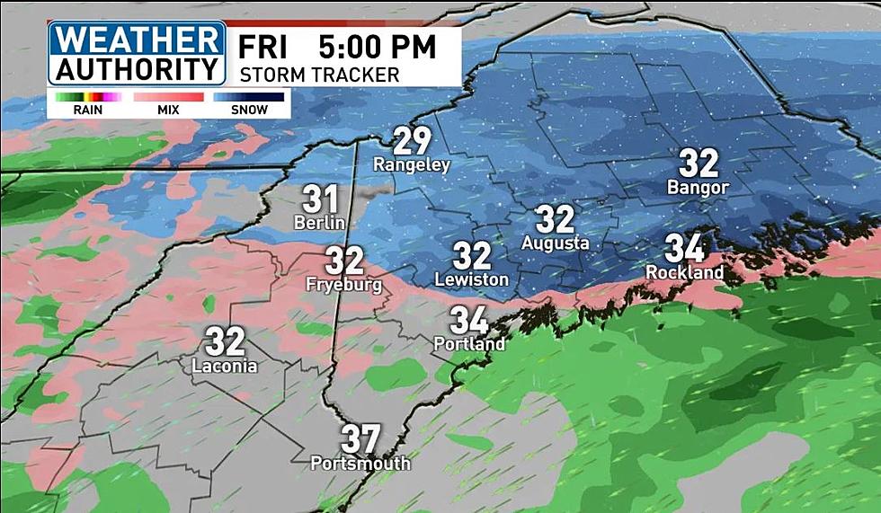
According to a weather blog on WGME 13, another area of low pressure will bring a bag of mixed precipitation into Maine on Friday. Because temperatures for most areas will be hovering around the freezing mark, many inland areas will see a moderate mix of sleet and snow.

The snow will be slow moving so it will last for much of the day on Friday. As of 6:40 this morning, some Maine schools had already made the decision to send kids home early today.
As the storm drags on, most areas around the state can bet on receiving about 3" of the white stuff. Though if you head east it's likely that you'll see lesser amounts and if you head west you'll probably see a little bit more.

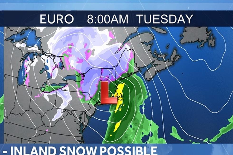
After this storm moves out, the next chance for snow looks to be Sunday night into Monday, though the track of that storm is still up in the air, pun intended.
After this weekend and looking at the extended forecast, it seems increasingly likely that we will see some kind of snow event on Wednesday, however, like the weekend storm, the exact track, duration and amounts associated with that storm still haven't been determined.

13 Things To Put On Your Maine Winter Bucket List
Gallery Credit: Arlen Jameson
Maine Winter-Related Records and Firsts
Gallery Credit: Chris Sedenka
More From 92 Moose