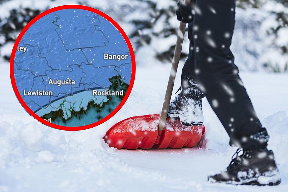
Maine & New Hampshire Snowfall Maps Are Out Ahead of Tuesday’s Winter Storm
Over the weekend we reported that Maine and New Hampshire were likely to see snow early in the week, and it looks like that prediction is going to hold up.
In addition to the snow, WMTW News 8, also reports that we're going to see some pretty gusty winds on Tuesday, too.
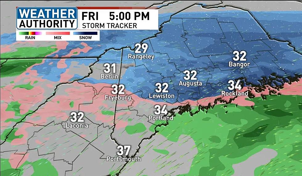
While Monday will be a pretty nice day, rain and snow will move into Maine after midnight into early Tuesday morning. Meteorologist Sarah Long says that those most likely to see accumulating snow will be to the west of the Maine Turnpike, though those to the east could still pick some up, conditions depending.
In addition to the messy weather, Mainers can expect it to be pretty breezy on Tuesday, too. Wind gusts in parts of the state could blow past 50 miles per hour.
Maine Roads & Streets To Avoid In A Snowstorm
Though it sounds like a poorly timed April Fools' Day joke, we can assure you it's not.
Last night, while scrolling the endless feed of Facebook, I came across a post that I assumed must be old. It had to be, right? There's no way we're still talking about snowfall for the New England region halfway through April, is there? Yup, we are.
Well, we're not, but WMTW Chief Meteorologist, Roger Griswold, sure is. In a post on his official Facebook Page, Griswold goes on to discuss the likelihood of a mid-April storm that is likely to affect the Maine and New Hampshire coastline and threatens some inland areas, too.
While Griswold says that many areas are likely to see cold rain, and we mean cold, several coastal communities could see themselves out plowing roads. Now, just how much snow will this potential winter, errrr spring, storm drop on us? That waits to be seen.
Below is the Euro model for Tuesday morning.
Griswold goes on in his Facebook post to say that this could be 'winter's last grasp in the making'. Below is the GFS model for early Tuesday. Let's just hope that after this, we can take the boats, motorcycles, campers and lawnmowers out for the season without worry of more winter weather!
These 17 Photos Reveal How Amazing Maine’s Funtown Splashtown Looks Covered in Snow
Gallery Credit: Meghan Morrison
Do You Remember These 8 Crazy Maine Weather Events?
Do you have our free radio station app yet? If not, it's the perfect way to request a song, talk to the DJs, enter exclusive contests and to stay up to date with everything that's happening in and around Central Maine and the world. When you download it, make sure you turn on the push notifications so that we can send you exclusive content and local breaking news that you need to know about first. Just enter your mobile number below and we'll send a download link right to your mobile device. After that, you can download for free and immediately begin accessing all kinds of exclusive content tailored just for you. Give it a try and stay connected with us!

More From 92 Moose