Track Real-Time Maine Power Outages as ‘Grinch Storm’ Tears Through With Heavy Wind, Rain
It should come as no surprise that the next 24 hours or so here in New England are going to be a whirlwind weather-wise (no pun intended). Just kidding, pun totally intended.
In the last 7 days we've gone from bitter cold, to two plowable snow events to now expecting absolute buckets of rain coupled with way warmer-than-normal temperatures as we head into the midweek.
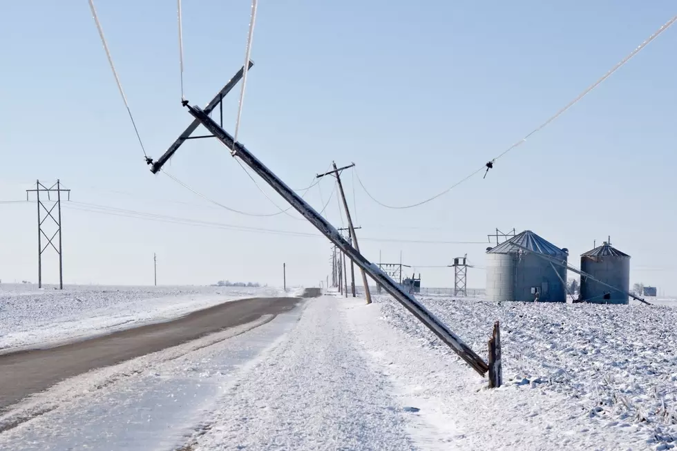
Not only are we going to get absolutely poured on here in the Pine Tree State, but gusting winds are going to threaten power outages around the state. Let's take a look at the timing of the storm as well as where those gusty winds will be most impactful.
Heavy rain moves into the region during the day and really begins to intensify as we head into Wednesday evening and through the nighttime hours. The heaviest bands of rain are slated to fall up the I95 corridor and into Central Maine west.
When it comes to those gusting winds, the peak gusts will be blowing on Wednesday evening with several Maine regions gusting north of 50+ miles per hour. These gusts, along with the soaking rain, greatly increase the likelihood of tree blow-downs taking out power.
As we move through the overnight hours on Wednesday, the threat of flooding, gusting winds and power outages continues to increase. You will definitely want to make sure your generators are fueled up and ready to go.

If your area begins to be affected by gusting winds and the power starts to go out, you can follow the links below to look at how many people are out by county, town and street here in Maine.
We've included multiple links to Central Maine Power as well as a direct link to Versant Power.
Here is a direct link to the CMP outage map for Central Maine.
Here is a direct link to outages by county and town.
2025 Concerts in Maine, New Hampshire, & Massachusetts
Maine Has 30 UFO Sightings So Far in 2024
Gallery Credit: Sean McKenna
More From 92 Moose